In August 2017, I visited La Palma. For two weeks, I went on hiking trips all across the isle. When I was too tired to go hiking, I walked the streets of some of its towns and villages to recover. In this travel blog, I want to show you some photo galleries and give you further information about the places shown.
Read about the different locations – or just skip the text and watch the pictures.
It’s up to you! I wish you a pleasant journey!
Location and History of La Palma
La Palma is one of the seven Canary Islands now belonging to Spain. It lies closer to Northern Africa than to the Spanish country though.
 [Public domain], via Wikimedia Commons")
Until the Spanish colonization between 1402 and 1496, the Canaries were populated by an indigenous population called the Guanches. The Guanches probably have the same descendants as the Berbers of Africa. They may have left the Sahara at some point after 6000 BC. Guanches is now the umbrella term for all pre-Spanish natives of the Canary Islands. But in fact, it means “People of Tenerife”. The correct name for the natives of La Palma is Benahoarita or Auarita. The main remnants of this culture are their cave dwellings, enigmatic petroglyphs and paved stone paths through the mountains (now widely used as hiking paths). After the Spanish conquest, the native Canarians vanished by either being killed, sold into slavery or by assimilating into the Spanish population.
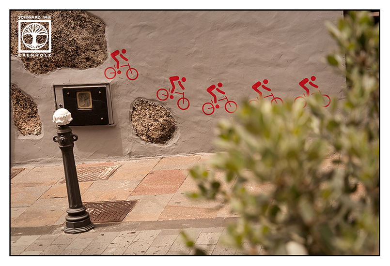
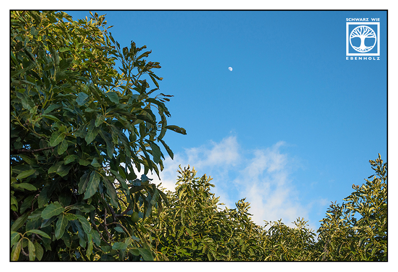
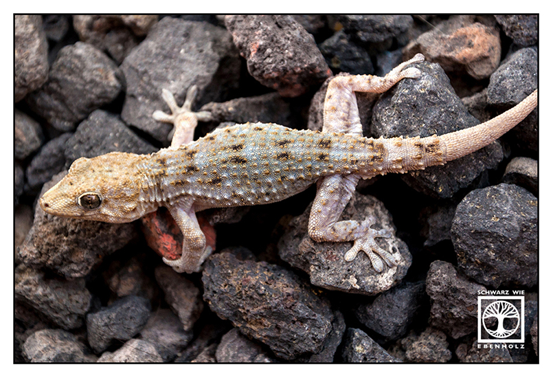
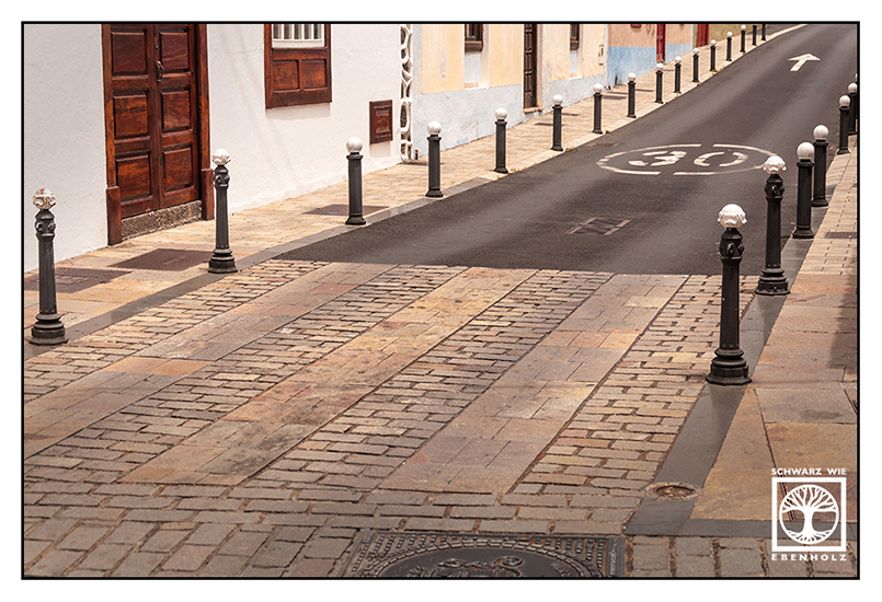
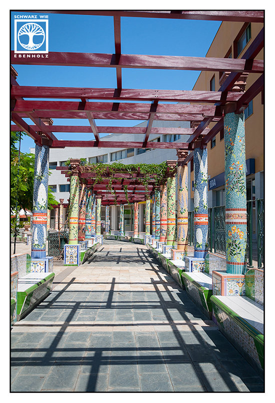
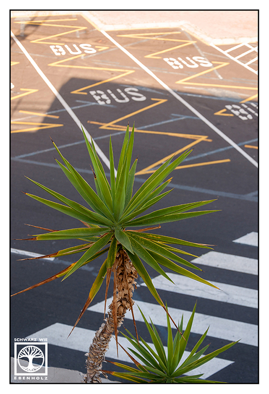
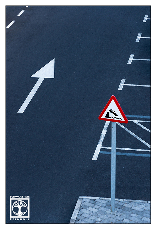
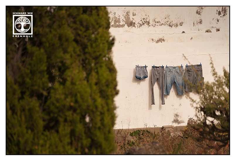
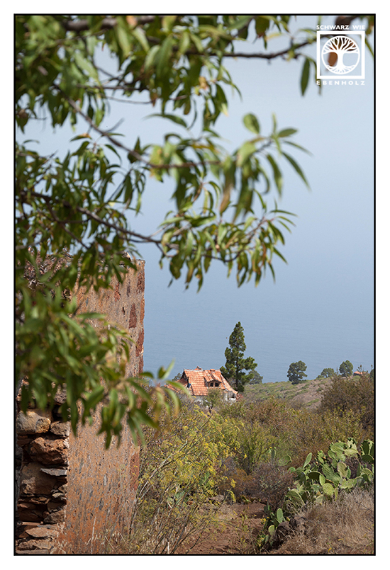
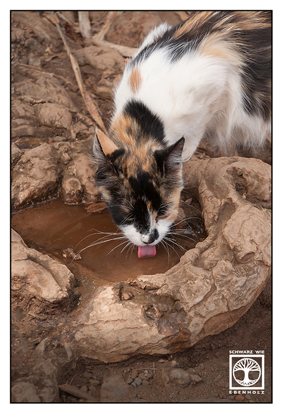
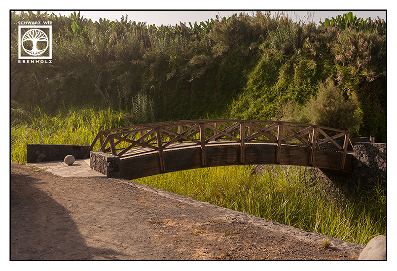
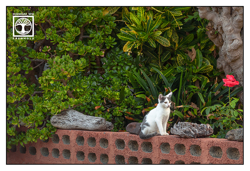
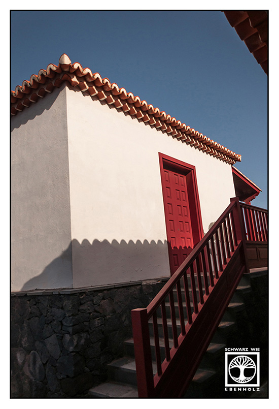
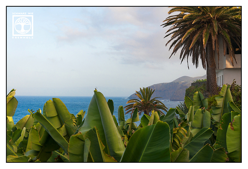
Los Llanos de Aridane – My “Home Town”
Los Llanos was the starting point for all of my photographic expeditions as I lived there during my stay. It is La Palma’s “biggest” and most vibrant city and is located in the Western part of La Palma. During siesta, you won’t see a lot of them wandering around. If they are not at home, the inhabitants of Los Llanos will probably sit under shady trees. But it gets quite lively in the evening!
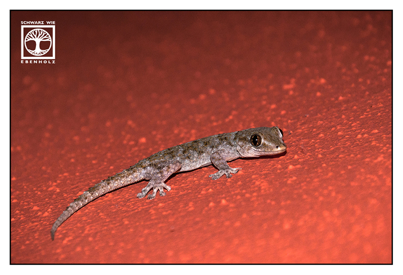
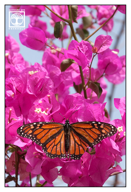
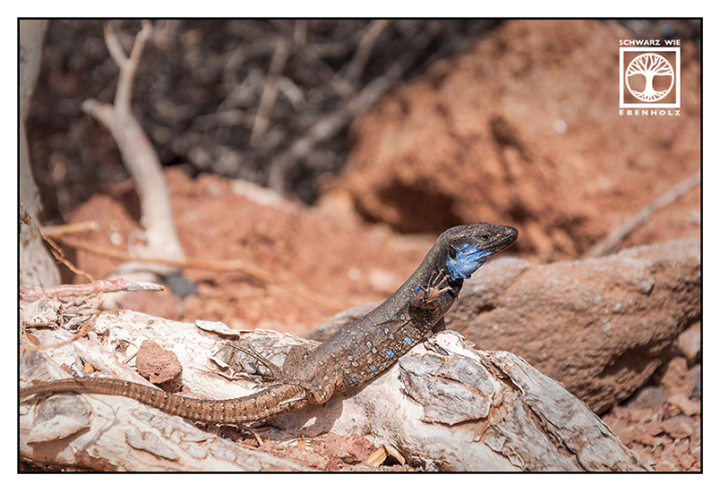
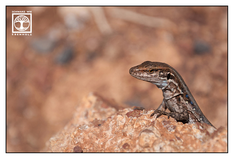
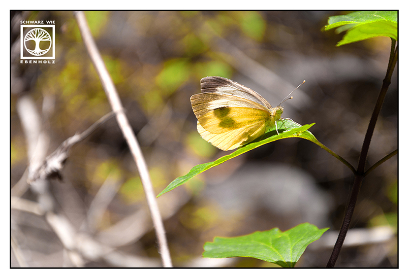
On the photos below, you can see avocado trees and the alien-like blossoms of aloe vera which are as high as trees. The geckos are a subspecies that can only be found on La Palma. They used to climb the walls of my holiday home.


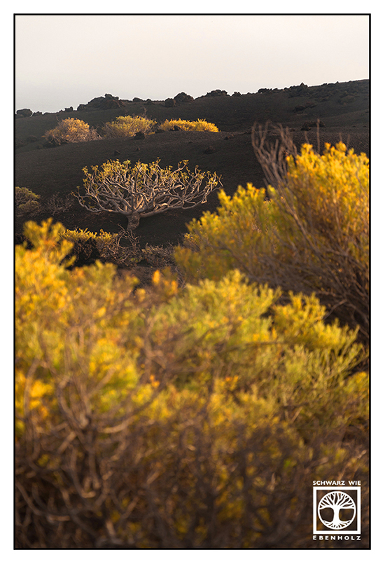
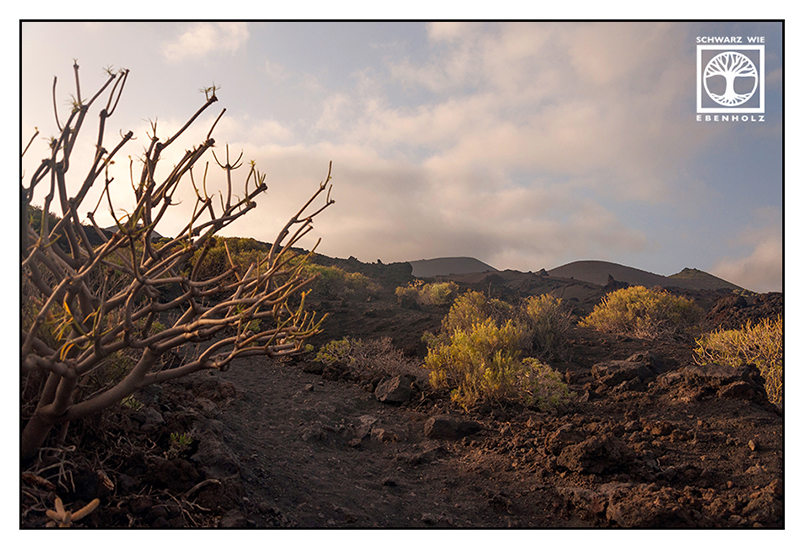
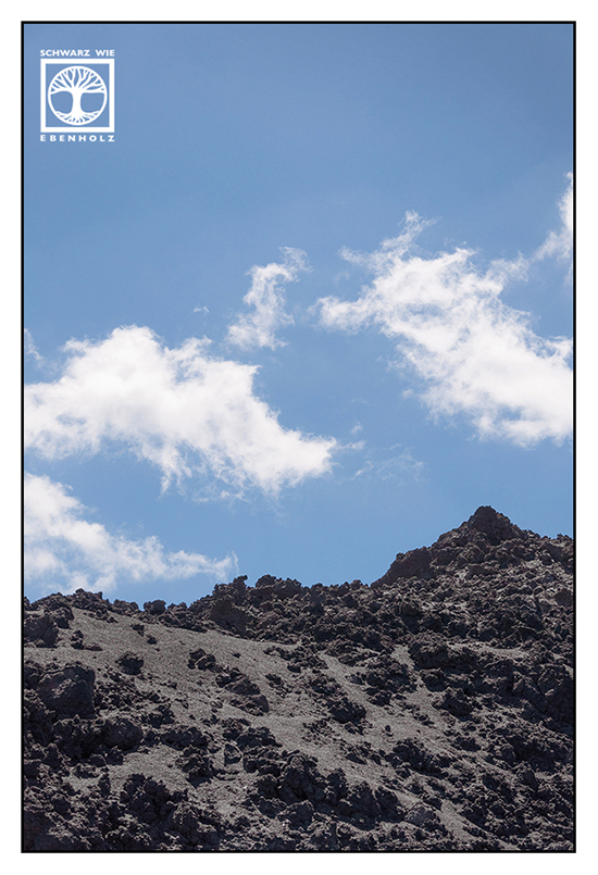
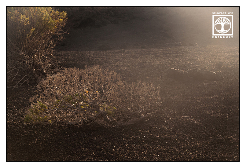
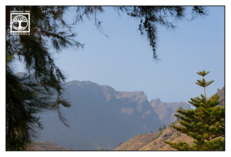
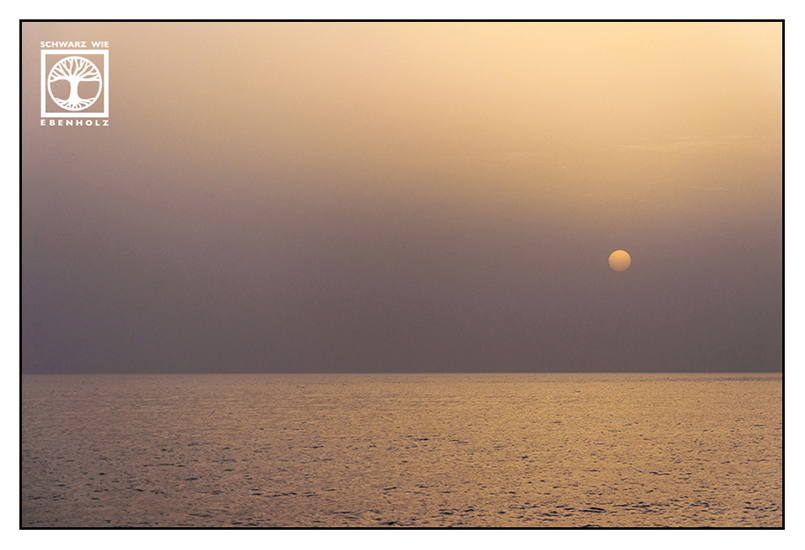
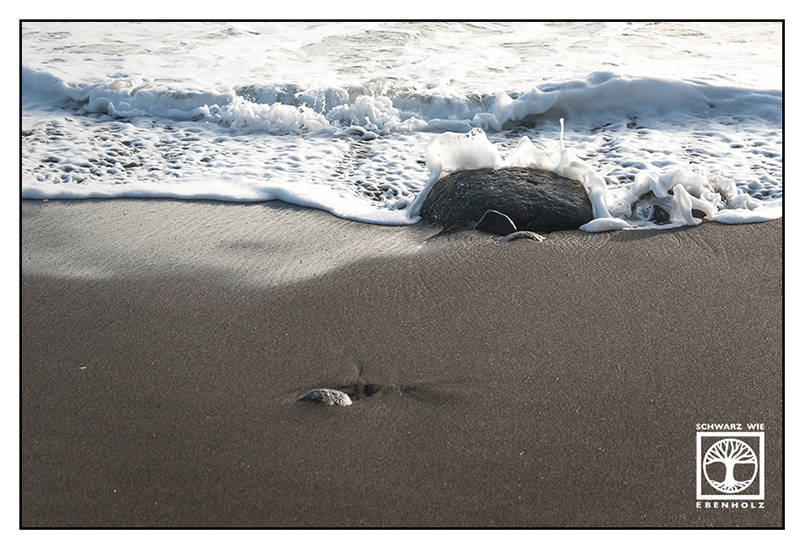
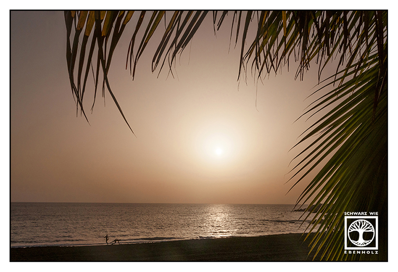
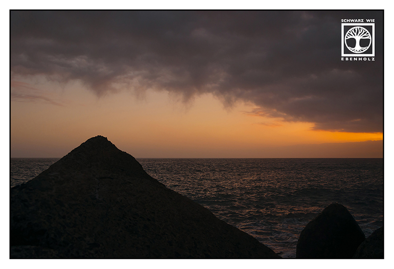
Fuencaliente – The “Hot Spring”
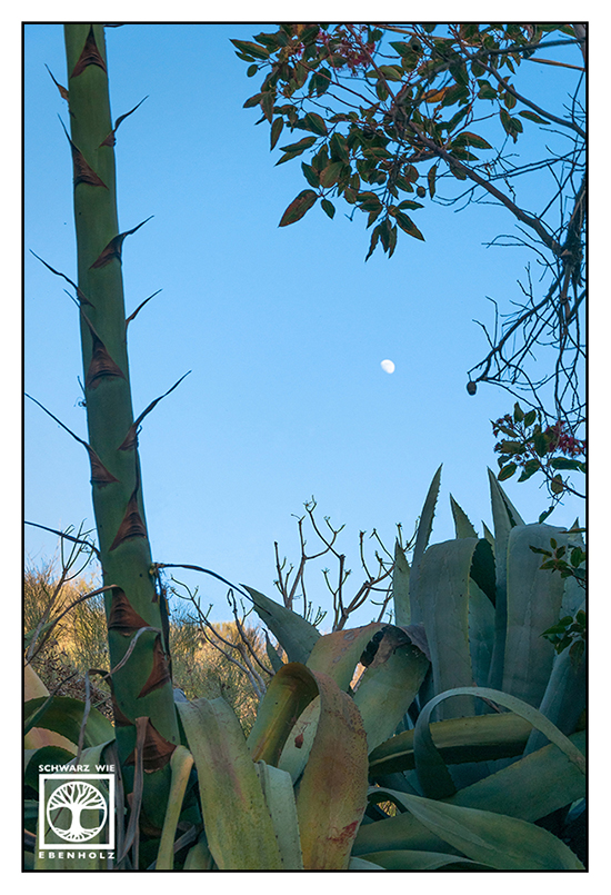
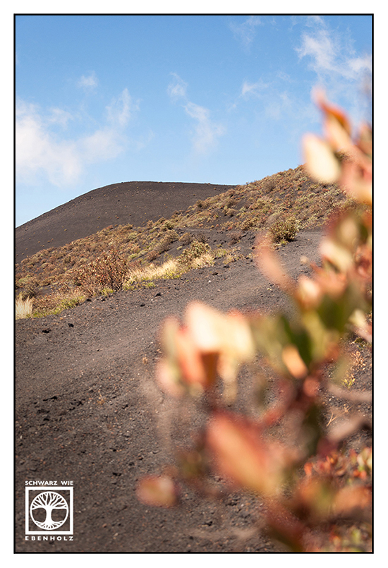
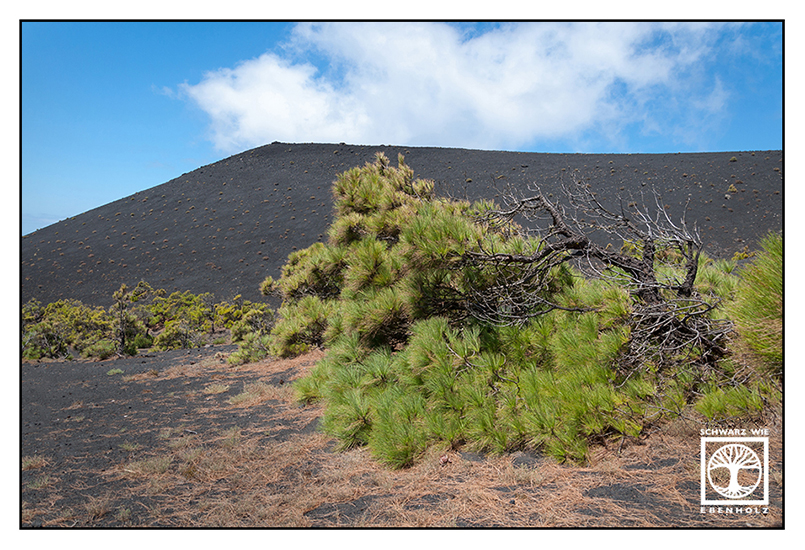
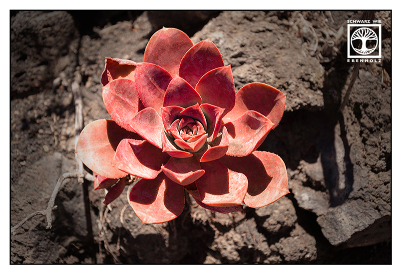
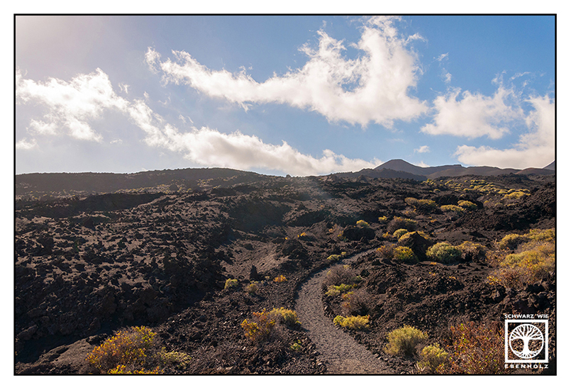
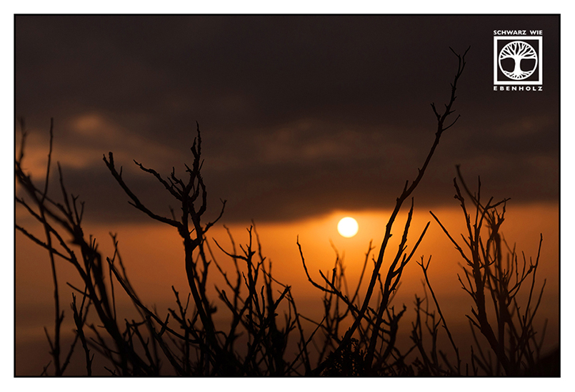
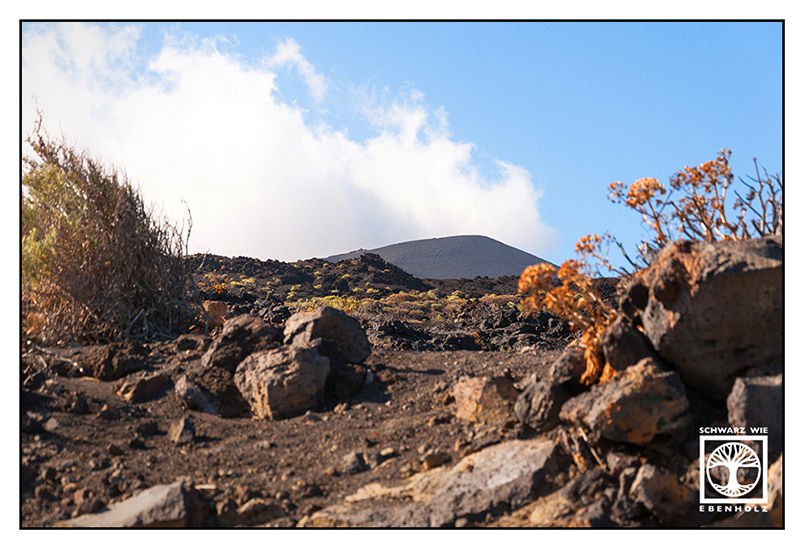
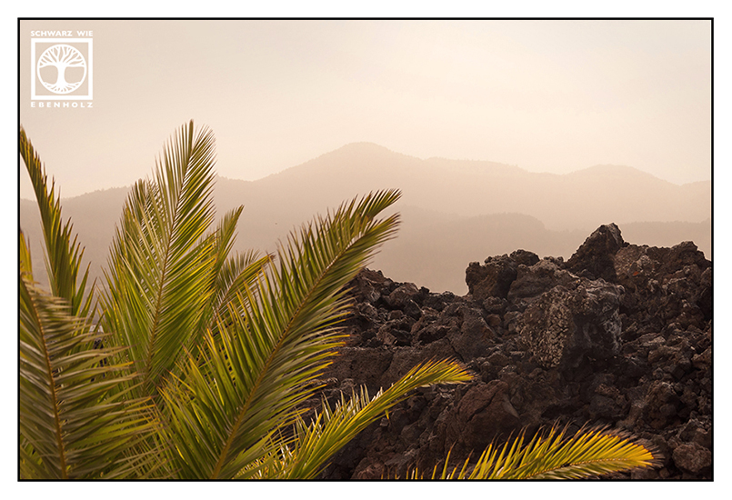
I drove down to Fuencaliente several times. The volcano landscape was so fascinating! Sometimes I felt like being on another planet: Those strange plants on black soil…
Yet, the weather conditions were hard to handle. There was absolutely no shadow at all because no trees succeeded in growing on the ash so far. And it was always windy. I didn’t know this the first day I went there , so I had to hold onto my hat all the time!
Eventually, I had enough: I pulled the ribbon off my hat and used it to attach the hat to my head. Creativity rules!
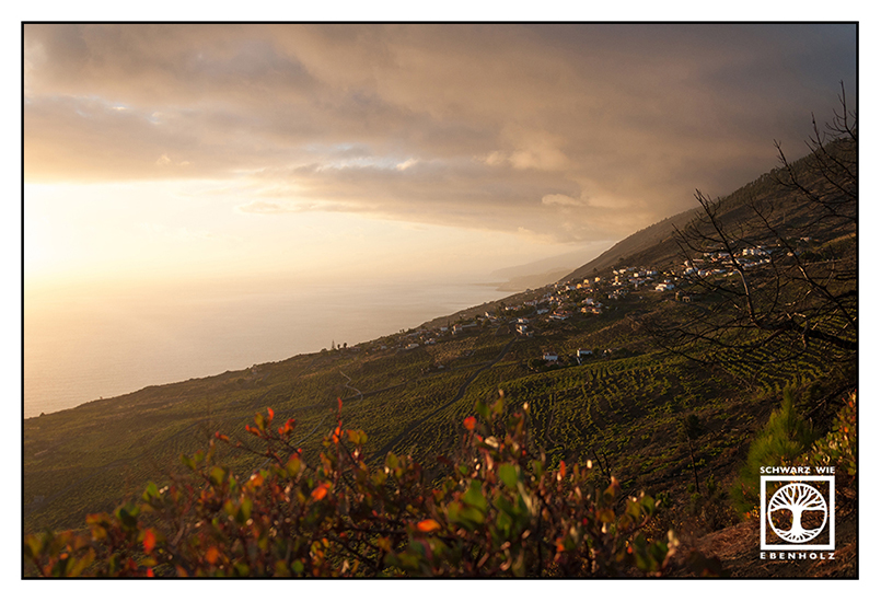
The landscape of Fuencaliente is dominated by the volcanic ridge of Cumbre Vieja. Teneguía, the southernmost volcano on this ridge, last erupted in 1971. You can see clearly where the lava flowed almost 50 years ago by the black trail leading from Teneguía to the ocean. Nothing lives there, absolutely nothing… Those strange plants you see on some of the photos only grow on much older igneous rocks. There, the people of La Palma even grow grapes and bananas.
At the most southern point of this region, you can find a lighthouse called “Faro de Fuencaliente” and some salt evaporation ponds, the “Salinas”. You can taste delicious food made with fresh sea salt in the salinas’ restaurant. It’s great to gain some strength before climbing up all those volcanos!


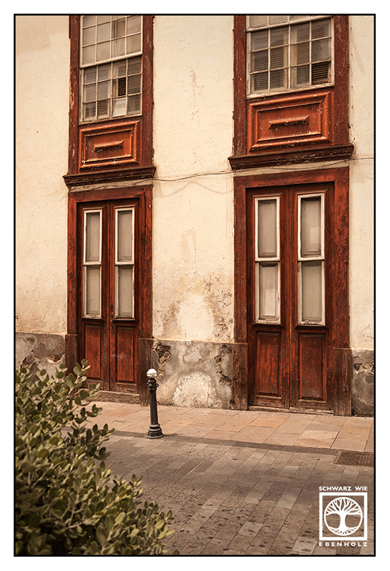
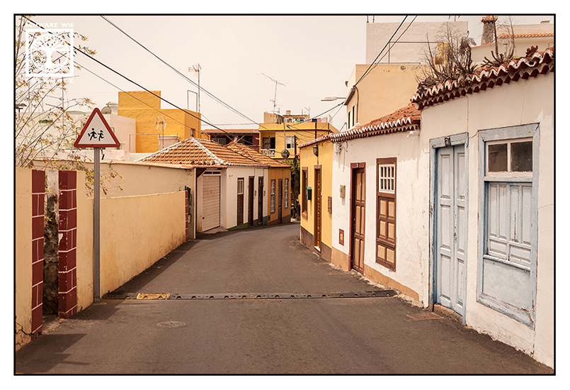
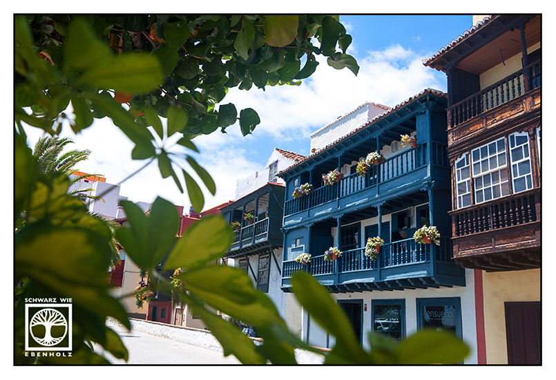
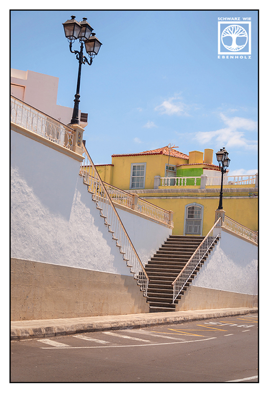
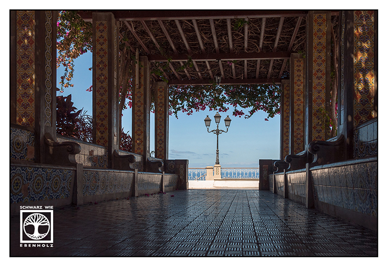
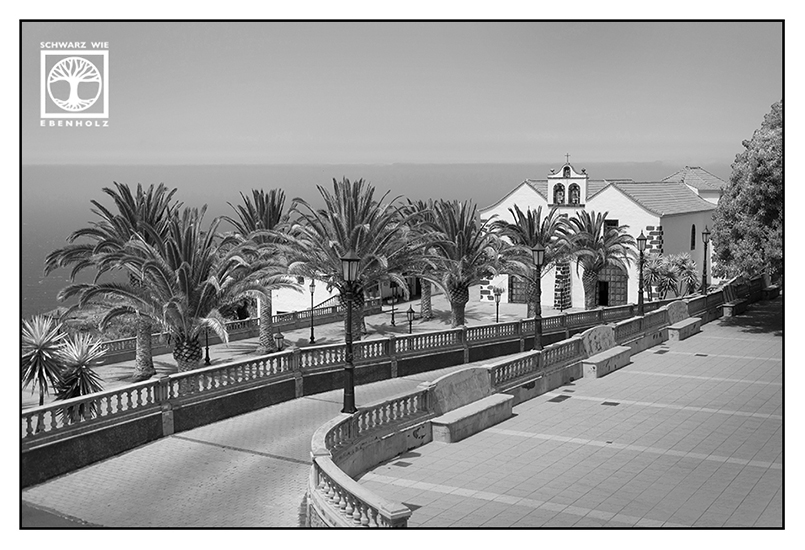
Santa Cruz – The Island’s Capital
Santa Cruz lies in the East and is La Palma’s capital. It has the only major port in the island and is close to the airport. During the 15th century, the Spanish settlers used Santa Cruz’s harbor to export goods like sugar and wine to the Americas. The city got sacked by pirates once but was later fortified against future pirate attacks. Santa Cruz is known for its Colonial style balconies.

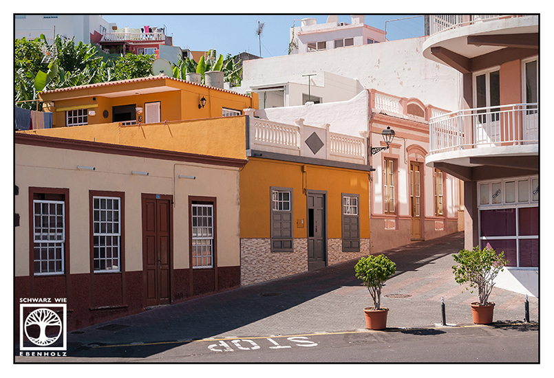
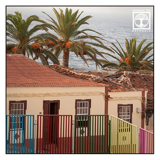
Tazacorte – The Banana Town
Tazacorte is situated near the coast, in the western part of the island. Banana fields occupy as much as 85% of the land area of Tazacorte, so there are banana trees everywhere!
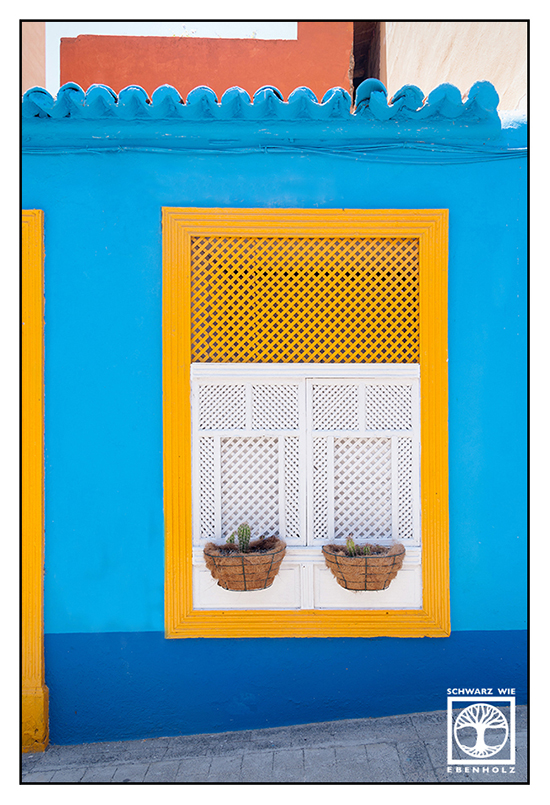
Tazacorte is full of colorful and pretty houses. There are several mosaicked fountains all over the town with benches to sit and relax. In Tazacorte Puerto, you can go whale-watching. I tried to spot some whales or dolphins, but unfortunately, I chose the last day of my holidays for this activity. On this day, they had a huge and noisy festival in town – all whales had left in a hurry!


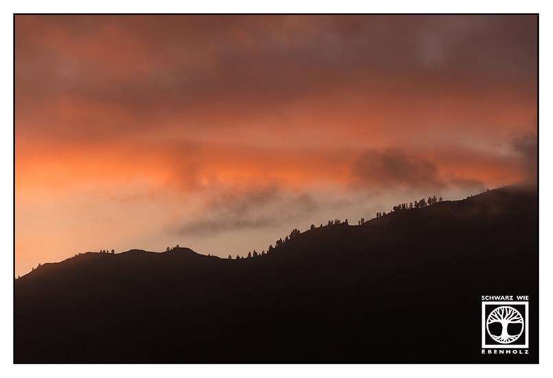
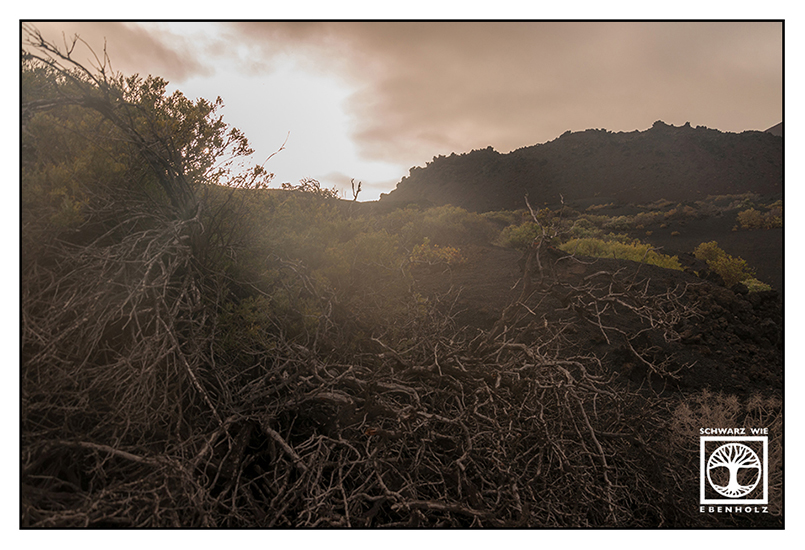
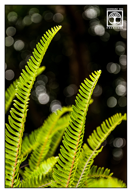
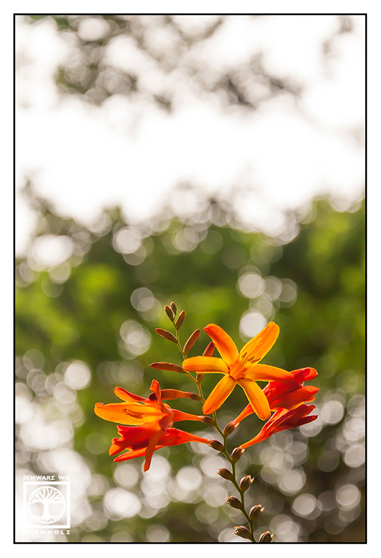
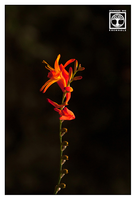
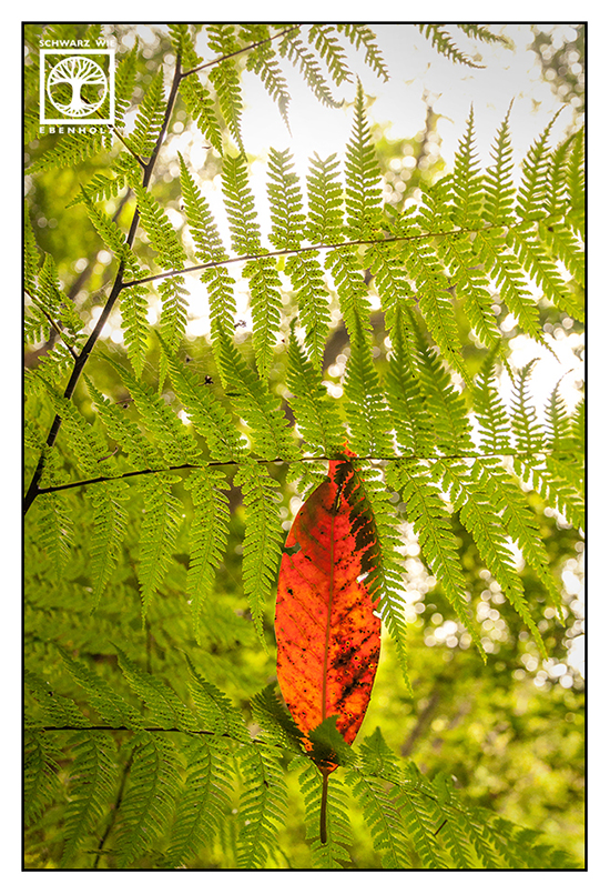
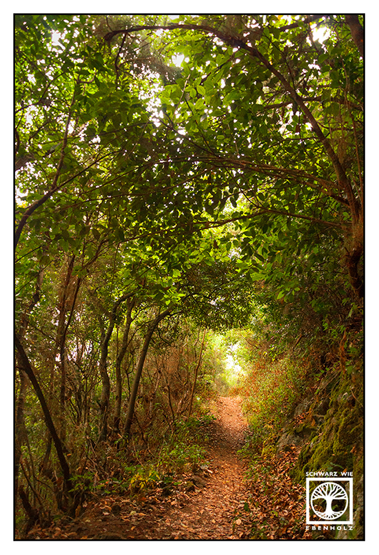
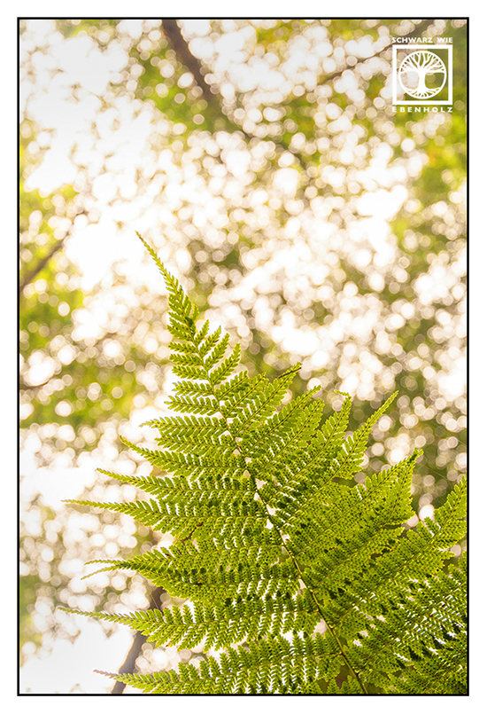
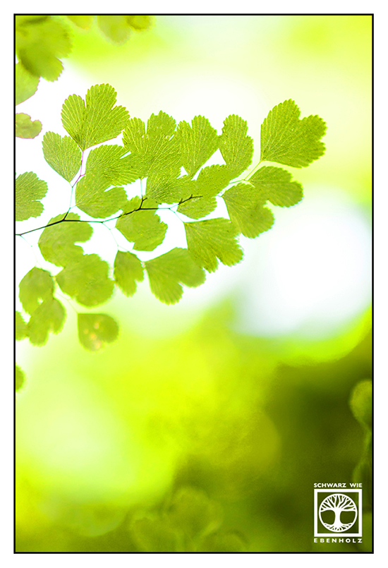
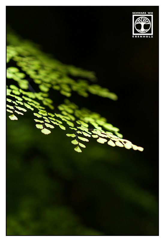
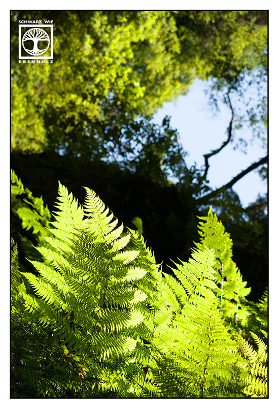
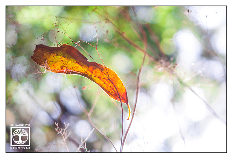
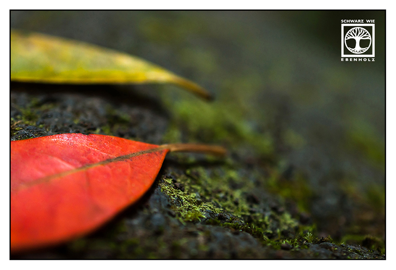
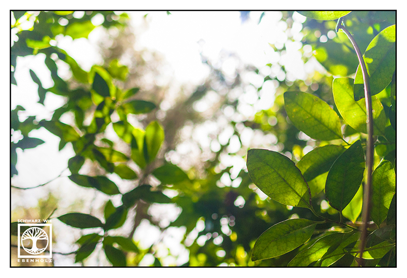
The Laurel Forest of La Galga
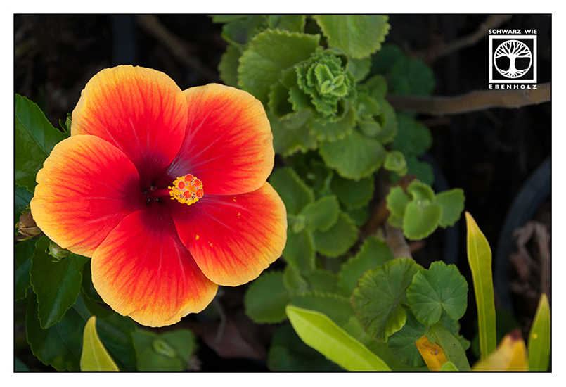
On a few days during my stay, clouds covered the sky and the air felt extremely hot. On the first day, I longed for something green and refreshing. So I took the car to the north and went hiking in the laurel forest of La Galga. It was the very reverse of Fuencaliente with its many trees and fern leaves. And the air was cool enough – I even spotted some flowers in the village’s gardens! (instead of cactuses like in Santa Cruz)


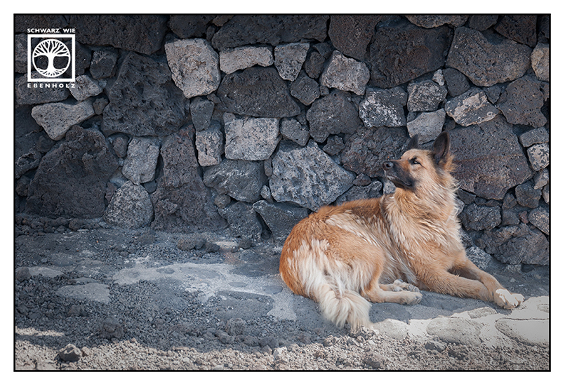
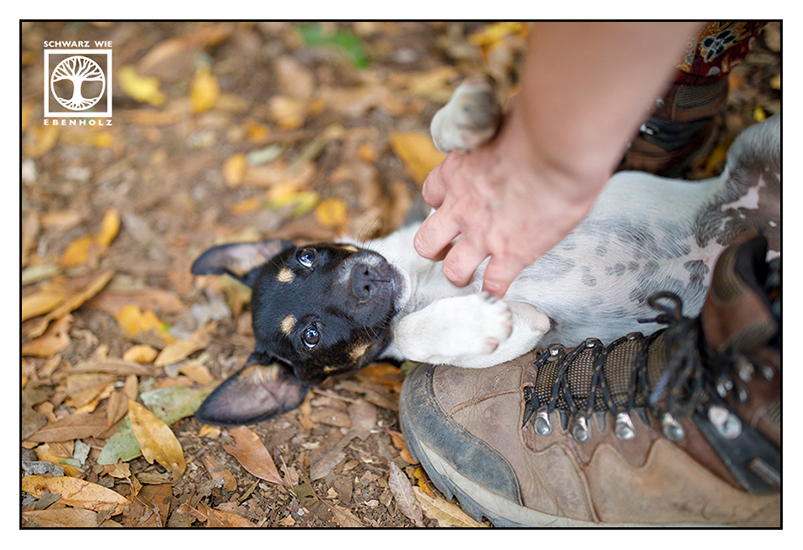
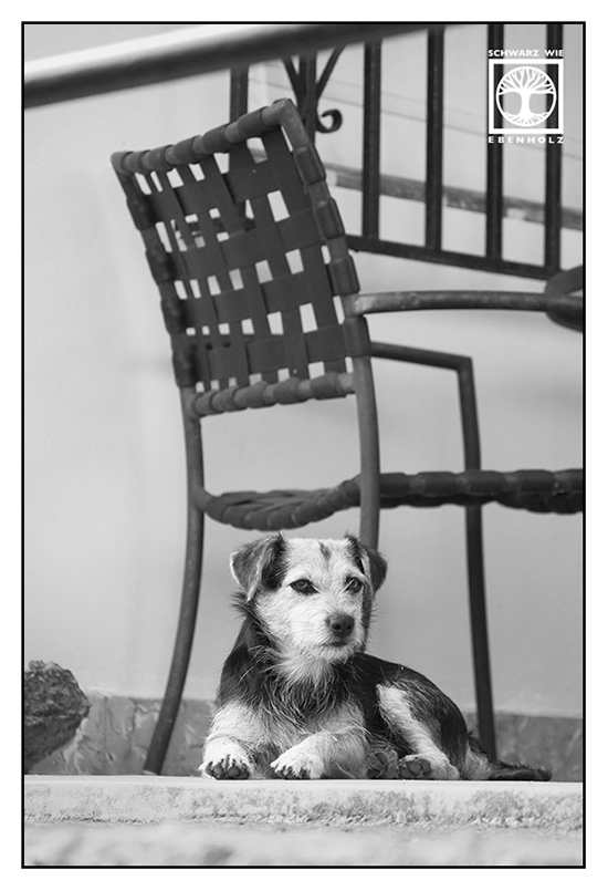
I met a cute little puppy in the middle of the forest. First, I thought it belonged to the hikers I met on the way. However, they left the puppy behind and it lay there at my feet and wanted to get patted. I reached the conclusion that it must have followed them into the forest and came from the village at the end of the path. So I took it with me – and the puppy disappeared as soon as I reached the settlement. I guess I was right!
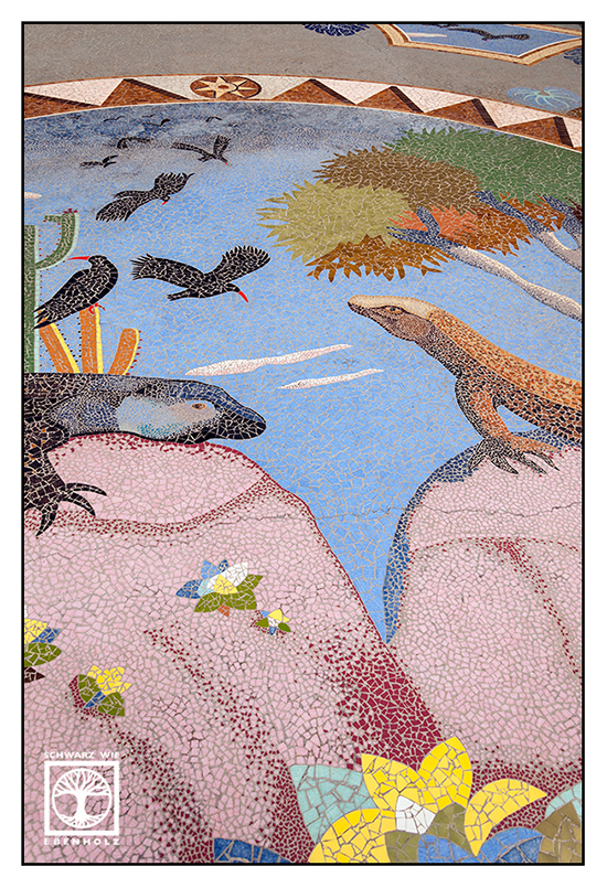
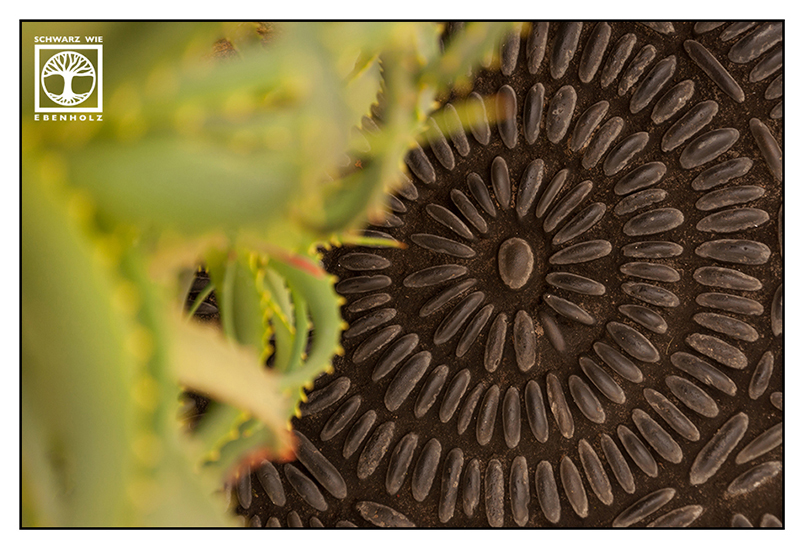
Las Manchas and the very colorful “Plaza de La Glorieta”
The second day, I couldn’t see the blue sky either. So I tried to go hiking in the region of Las Manchas. But up the first hill, I discovered a sign saying “no hiking today because of possible forest fires”. But it was too hot to walk anyway…
I drove to Las Manchas de Abajo to do sight-seeing. In this village, Luis Morera built his “Plaza de La Glorieta” in the 1990s; a square made of mosaics showing La Palma’s fauna and flora: Lizards, geckos, grajas (a sort of red-billed choughs found only on this isle), spirals referring to the Guanches and bananas, of course.
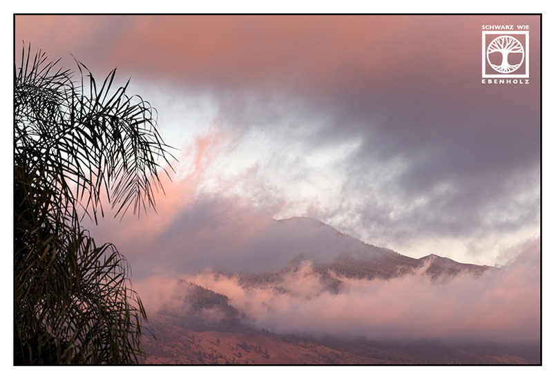
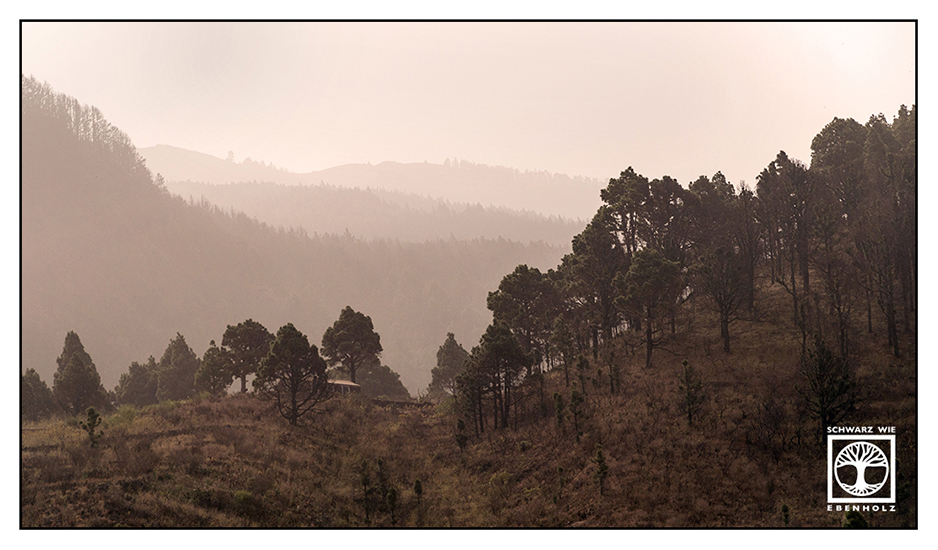
I tried to go hiking in the evening again, hoping it would be a bit cooler in the forest. Truth is: it wasn’t. At least not in the pine forests of the Caldera de Taburiente… It’s even hotter there! No wonder that they burst into flames easily!


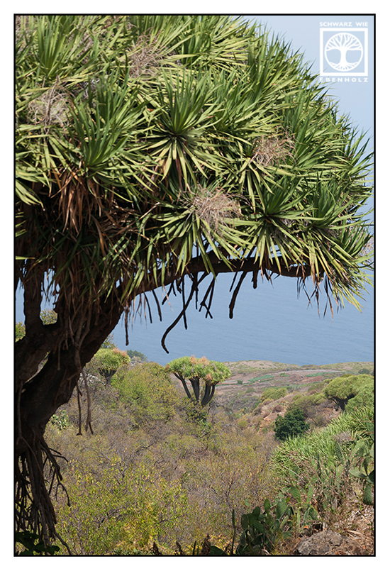
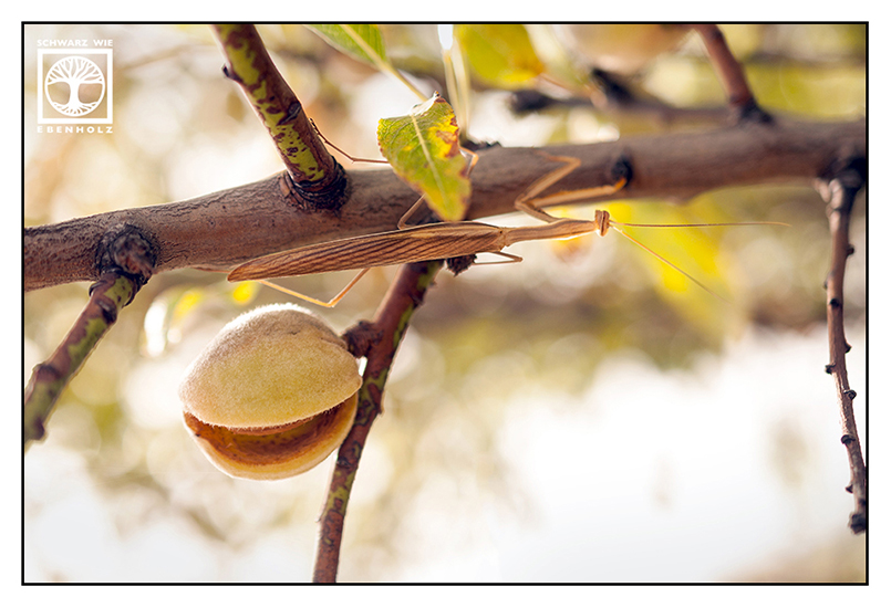
Ruta de los Dragos de Buracas – Between Caves and Dragon Trees
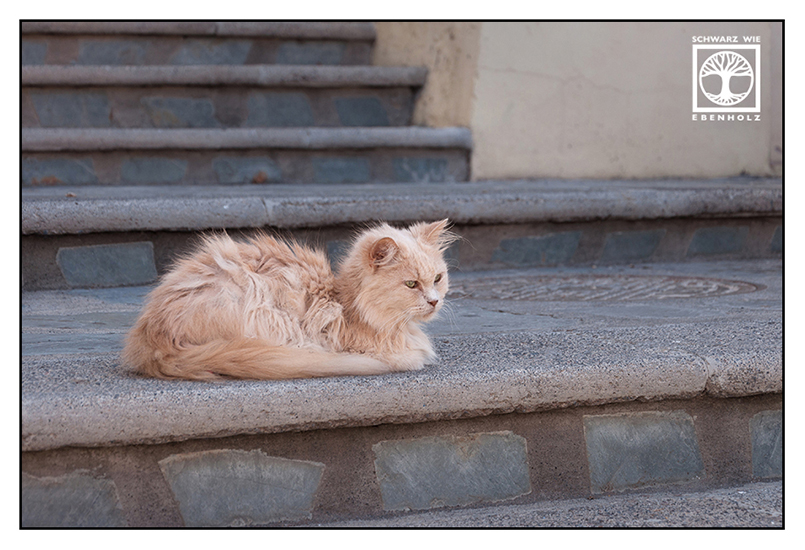
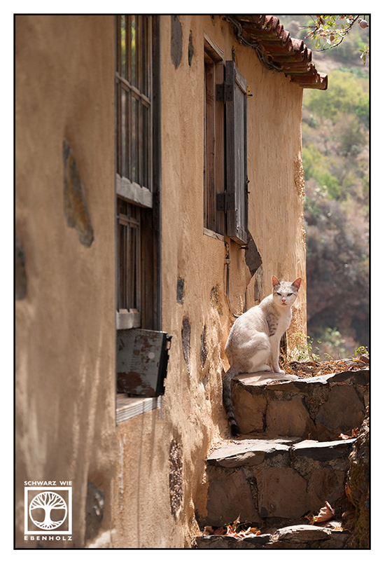
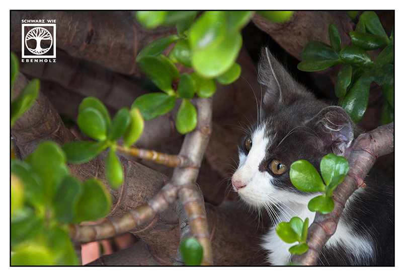
Walking down the country roads and trails was really peaceful and relaxing. Almond trees, chicken running around a probably abandoned house. Many, many cats. Small huts and houses where former flower children and their offsprings live and grow foods and… dragon trees. Giant dragon trees growing everywhere, knotty and beautiful. This hippie café under a self-made bower where you can eat healthy food and drink freshly pressed juice. And the buracas: caves in which once the natives lived.
Just don’t try to walk up again during siesta time in summer. Don’t dare doing such a thing between 1:30 pm and 5:30 pm… You’ll regret it bitterly!

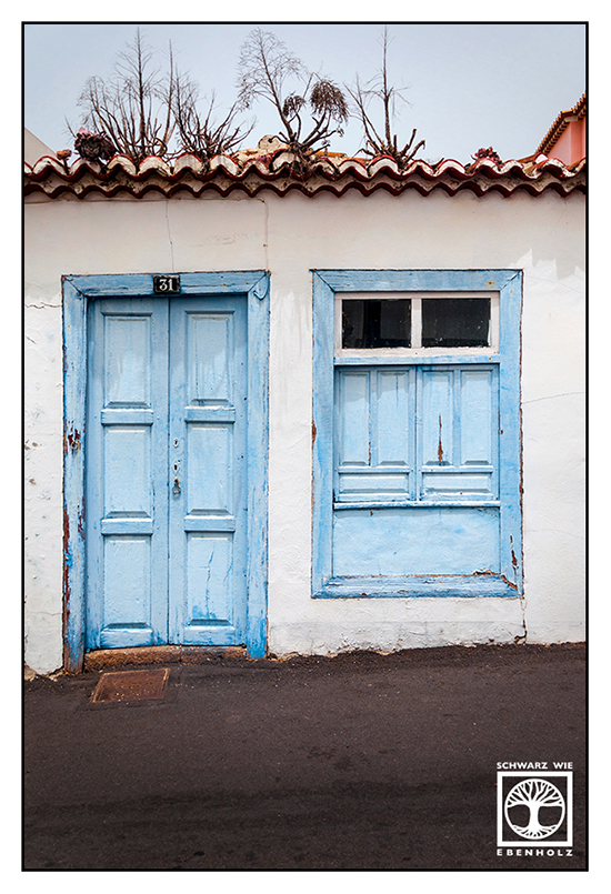
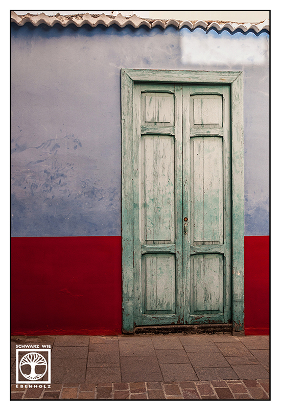
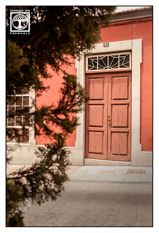
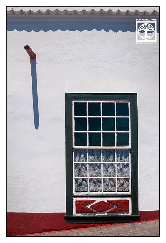
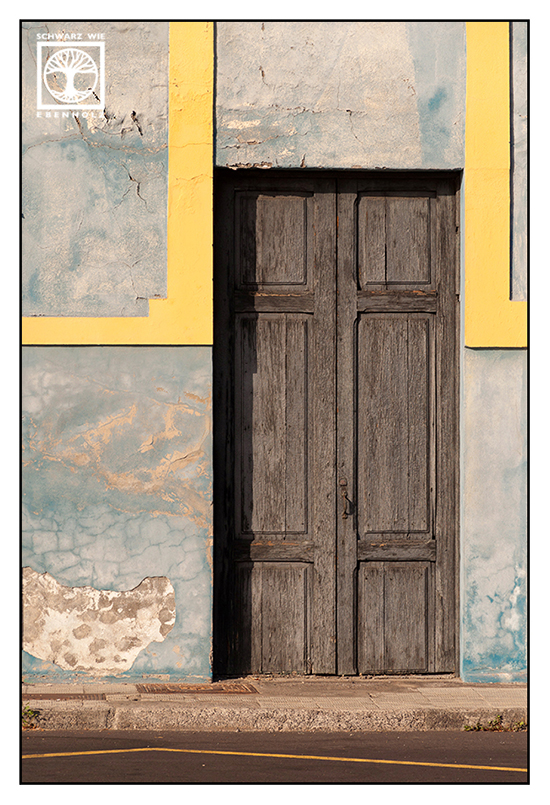
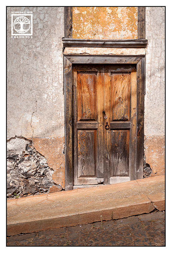
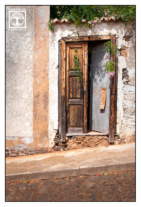
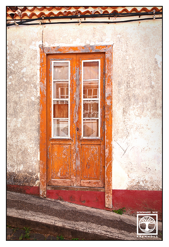
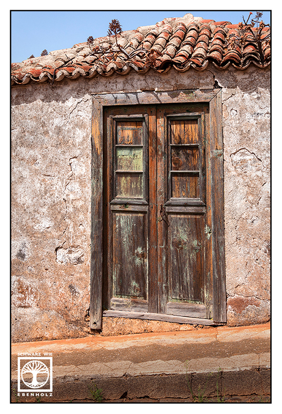
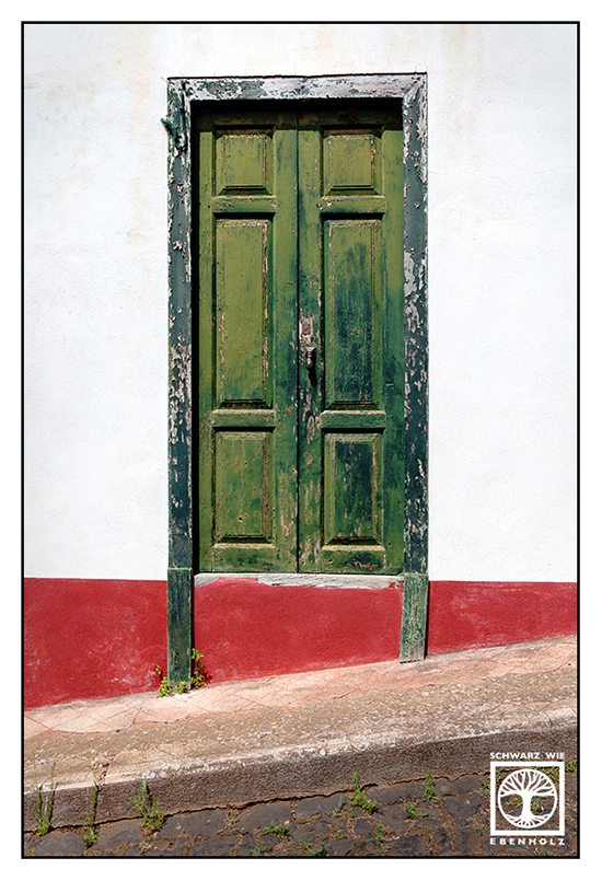
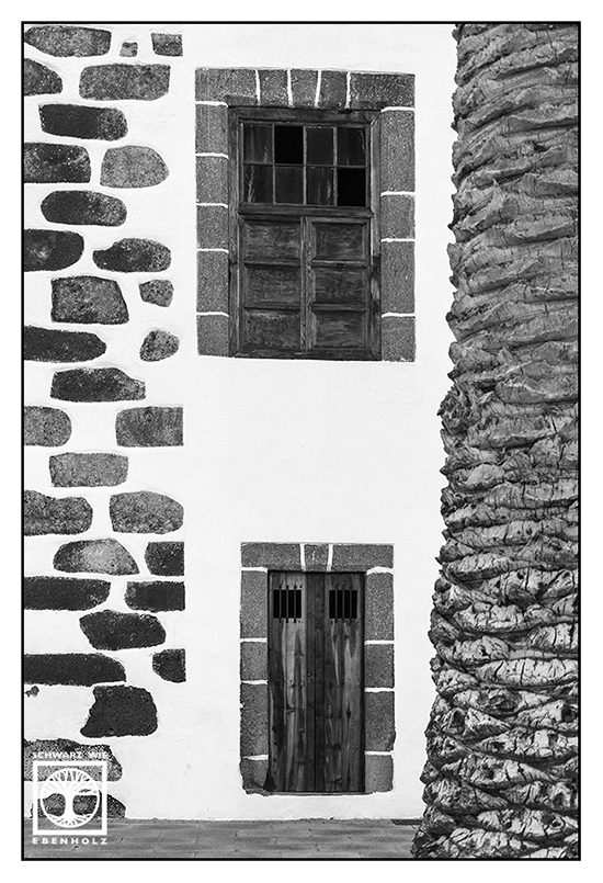
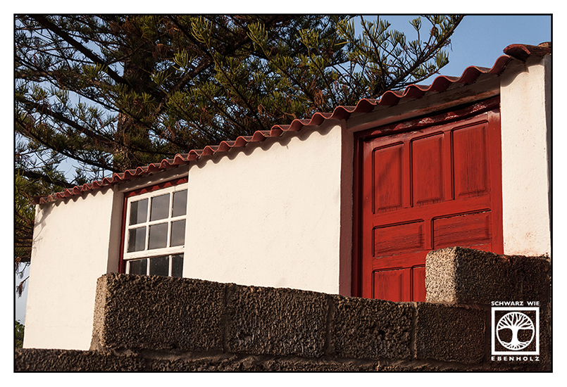
Santo Domingo de Garafía – Little Village in the North
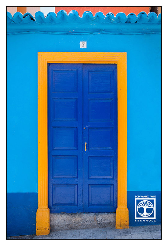
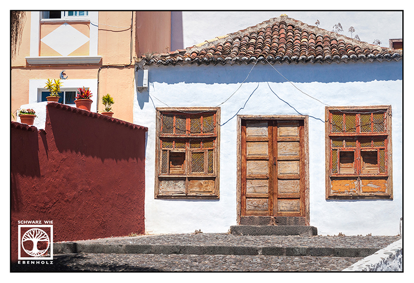
Without having an aim but going north again, I started driving. After a swim in the wild waves of a small and hidden beach, among many happy hippies, I discovered the northernmost village of the isle: Santo Domingo. There wasn’t much more than an old church and a square in front of it. Yet, I found a lot of beautiful doors.
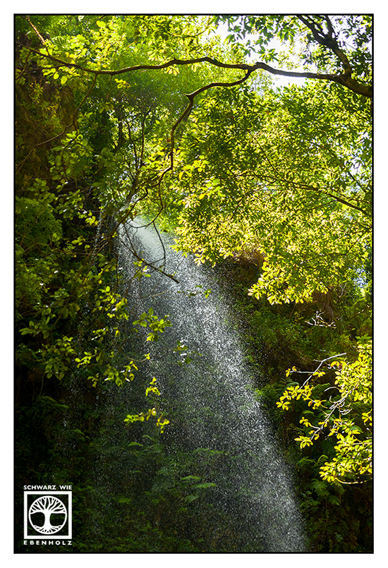
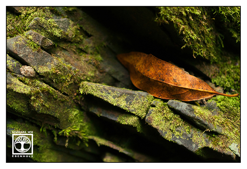
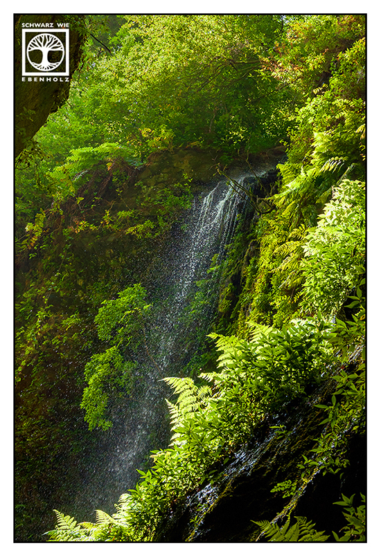
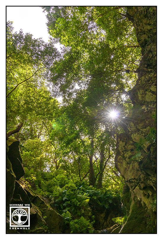
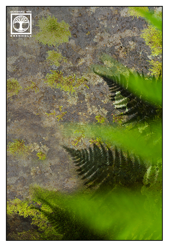
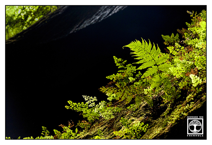
Los Tilos – A Green Paradise
Los Tilos is not only a laurel forest, it also provides much of the island’s sweet water. Even during summer heat, you can find waterfalls in this forest. Of course, such things attract a lot of visitors. But while the waterfalls are a popular destination, not many people continue walking through the laurel forest itself. You end up hiking all alone soon!
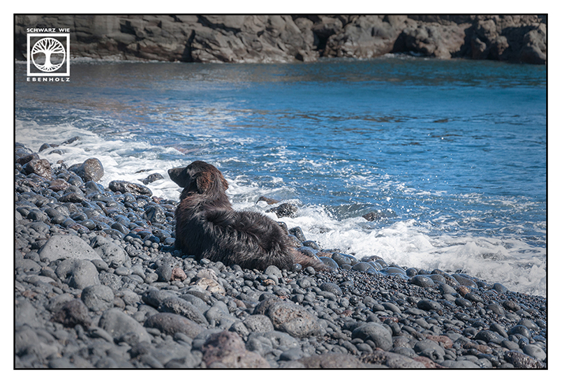
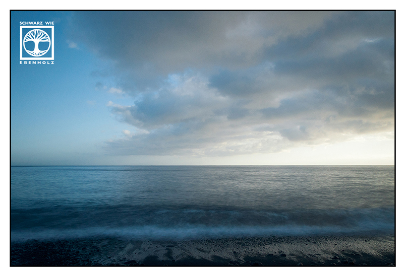
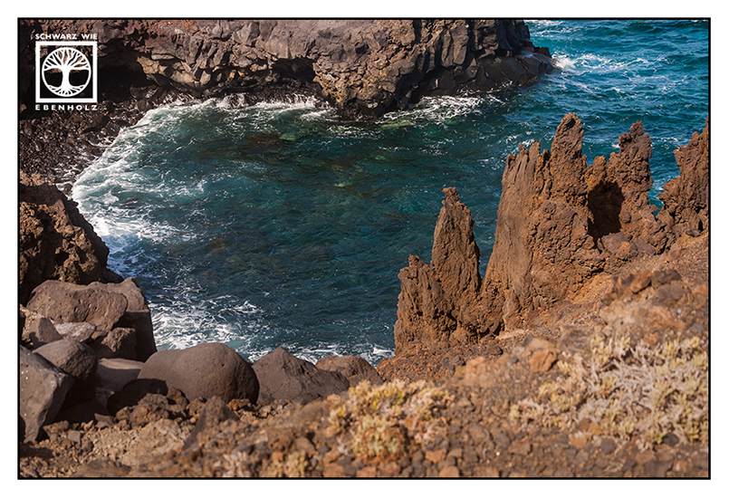
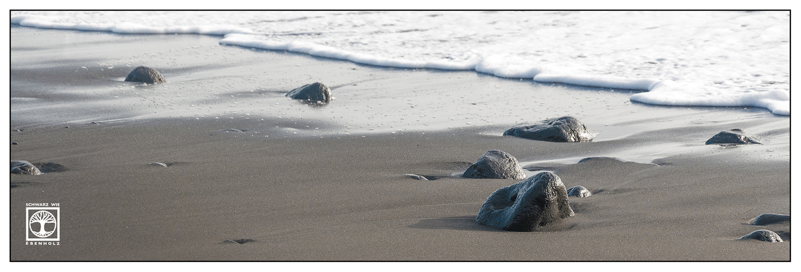
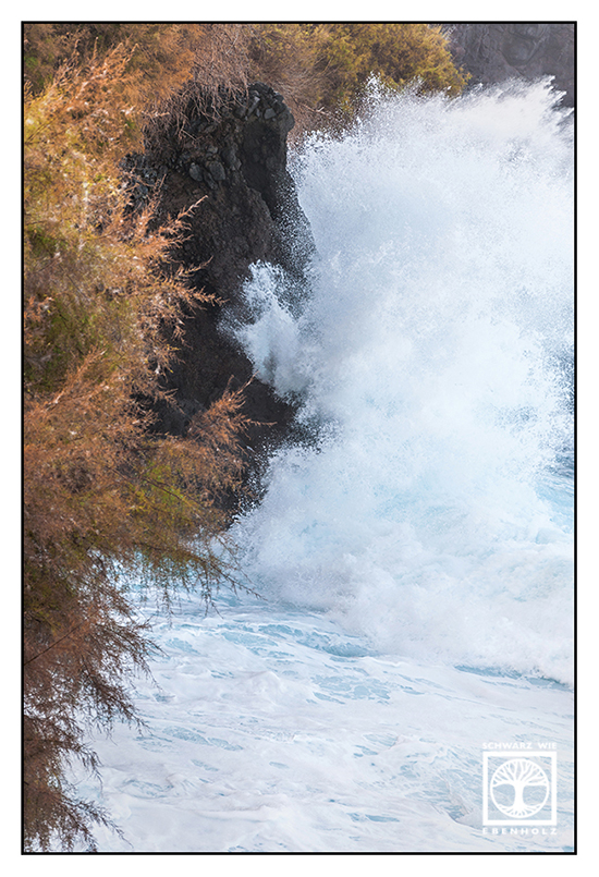
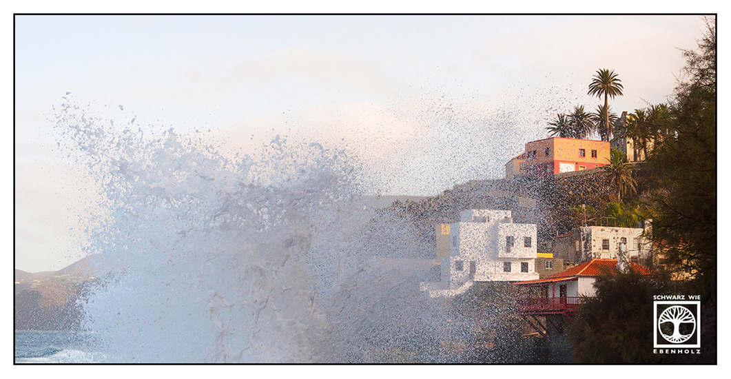
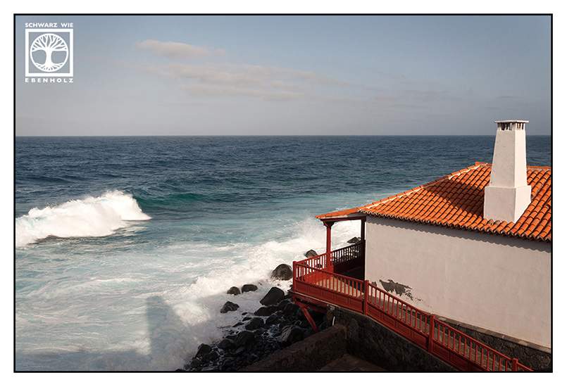
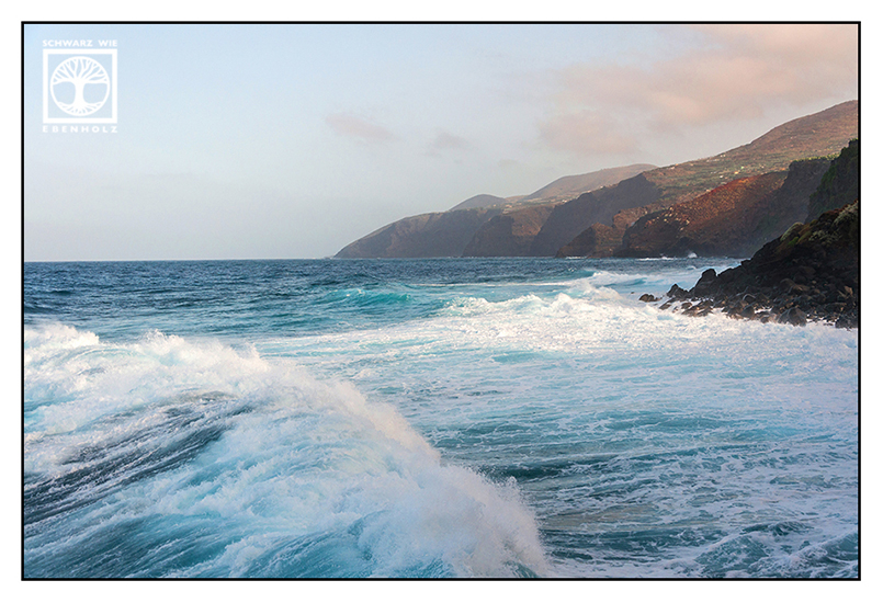
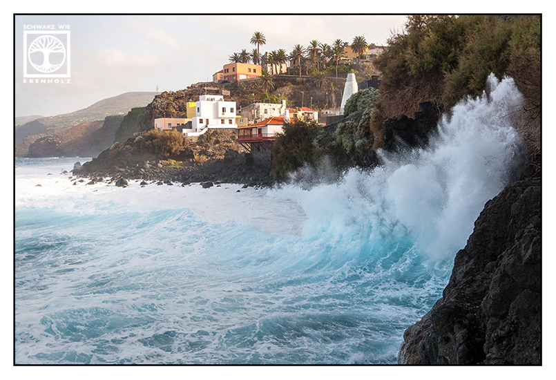
San Andrés – Huge Waves against High Rocks
San Andrés is located in the north-east of La Palma. It’s a rough coast with sometimes very wild waves, as you can see on the photos below. I went there right after my hiking trip through the laurel forest of Los Tilos. Though I was really tired and hungry, I managed to take some pictures of this pretty village at the coast.

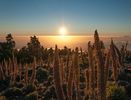
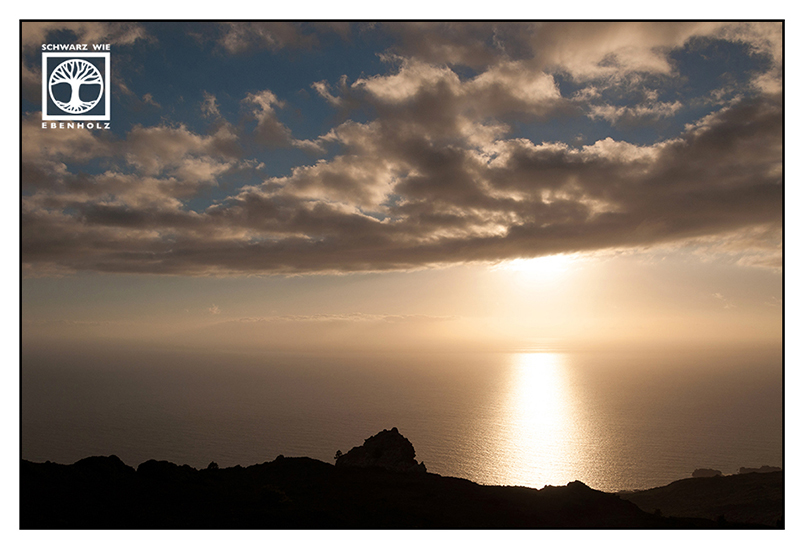
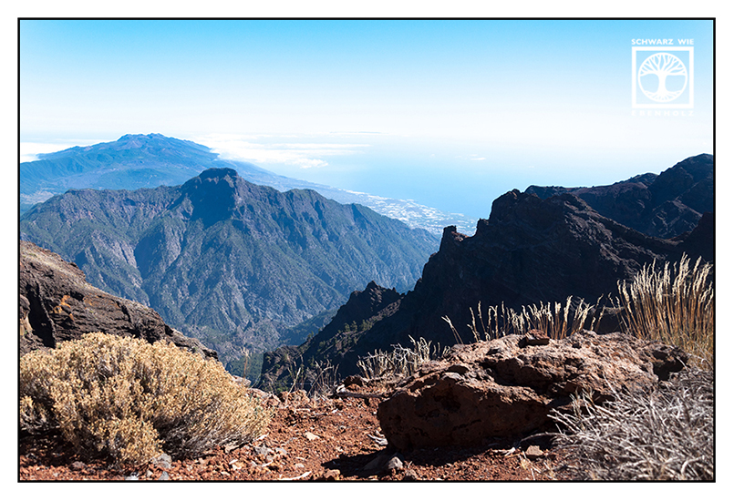
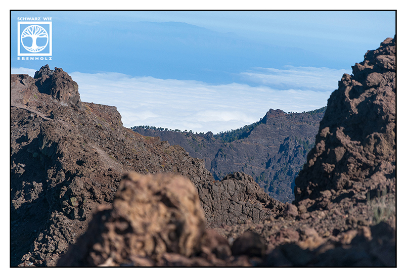
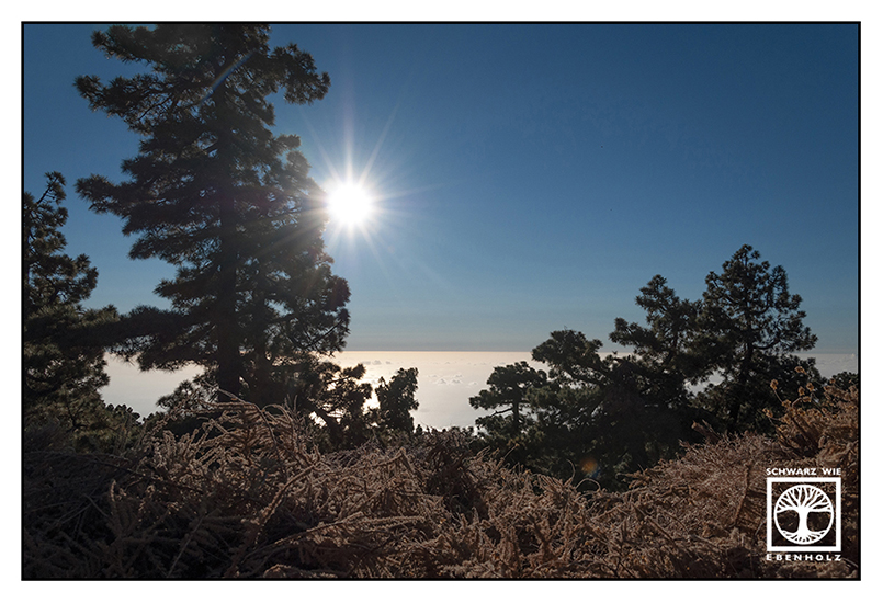
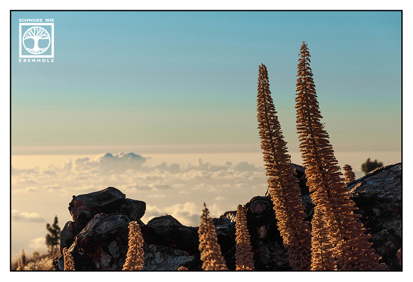
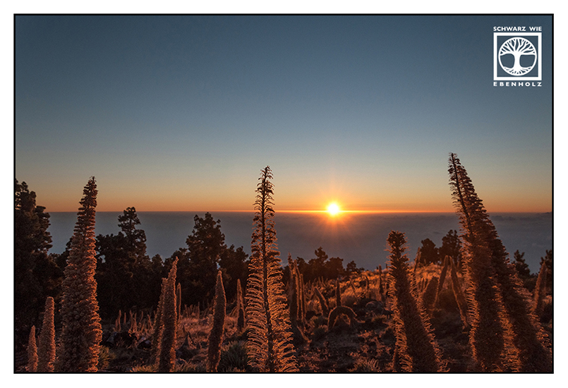
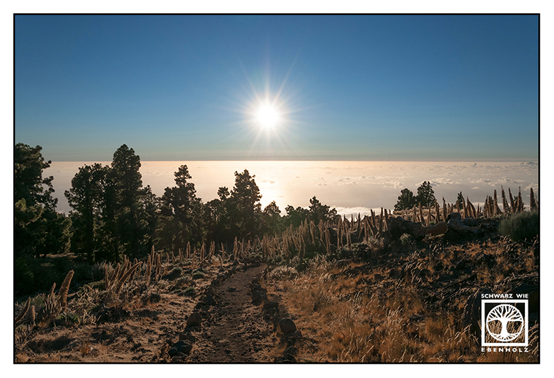
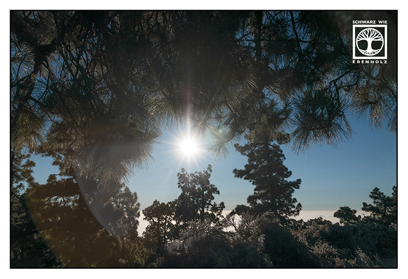
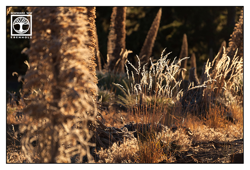
Roque de los Muchachos – The Higher the Mountain, the Closer the Stars
Roque de los Muchachos (English: “Rock of the Boys”) is with 2,423 m (about 7950 feet) above sea level the highest mountain of La Palma. It’s part of the National Park Caldera de Taburiente. The telescopes of various international observatories are situated very close to the summit. As the clouds never rise to the top, it’s perfect for watching the starry sky.
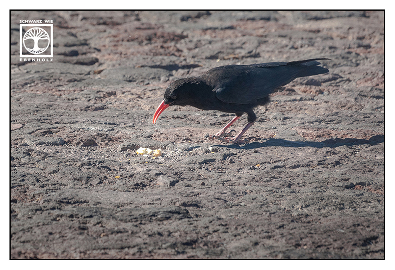
The bird on the photo is called graja and can only be spotted on La Palma.
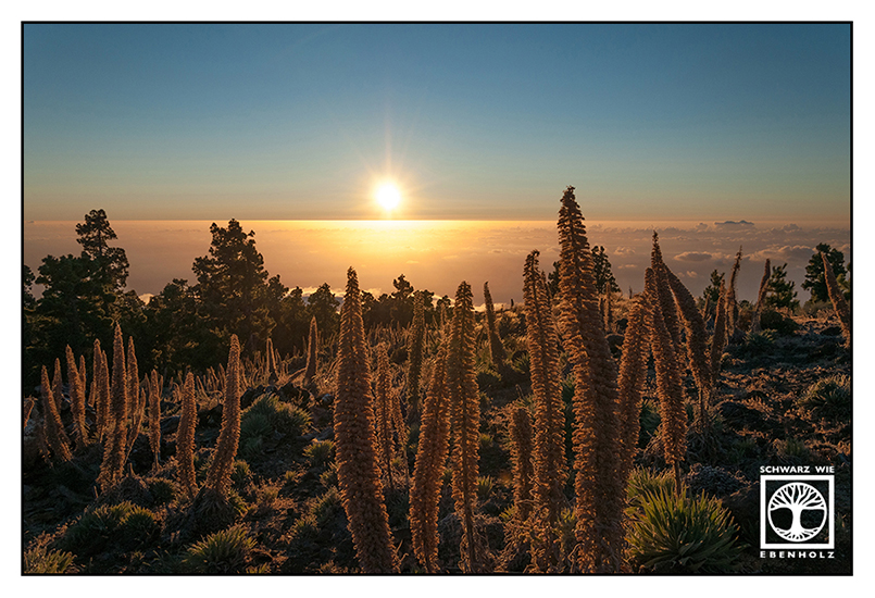
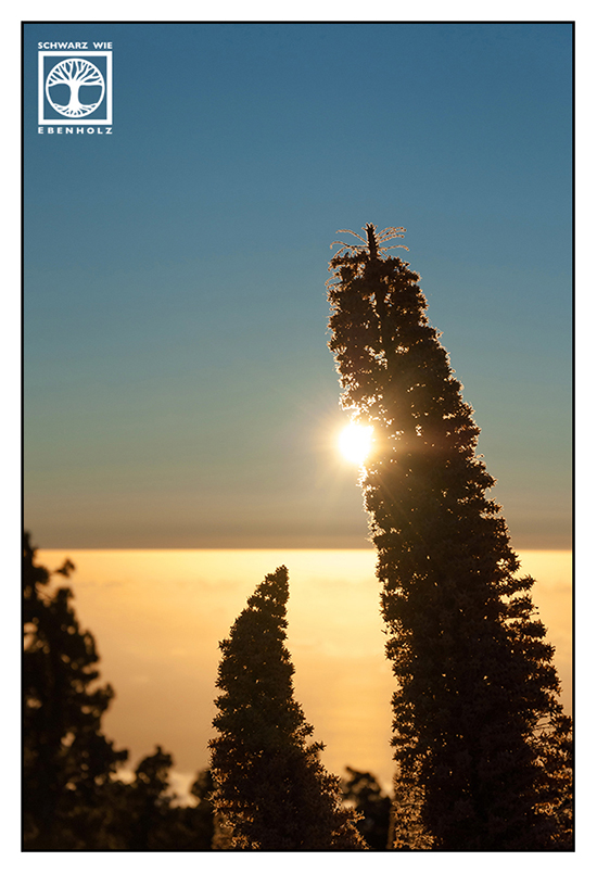
Those hugh tentacles belong to a flower called Echium wildpretii. Usually, the little flowers on the tentacles are pink. Those on the pictures are already withered but I think even then, they are beautiful!


I hope you had a pleasant journey.
Thank you for travelling with SchwarZ wie EbenholZ
 Have you been to La Palma as well?
Or do you have further questions?
Feel free to leave a comment!